Jump to content
Main menu
Main menu
move to sidebar
hide
Navigation
Main page
Recent changes
Random page
Help about MediaWiki
Special pages
Michael Henry's Montague Matters, a Community Resource
Search
Search
Appearance
Create account
Log in
Personal tools
Not logged in
Talk
Contributions
Create account
Log in
Editing
Gill, Massachusetts
Page
Discussion
English
Read
Edit
View history
Tools
Tools
move to sidebar
hide
Actions
Read
Edit
View history
General
What links here
Related changes
Page information
Appearance
move to sidebar
hide
Warning:
You are not logged in. Your IP address will be publicly visible if you make any edits. If you
log in
or
create an account
, your edits will be attributed to your username, along with other benefits.
Anti-spam check. Do
not
fill this in!
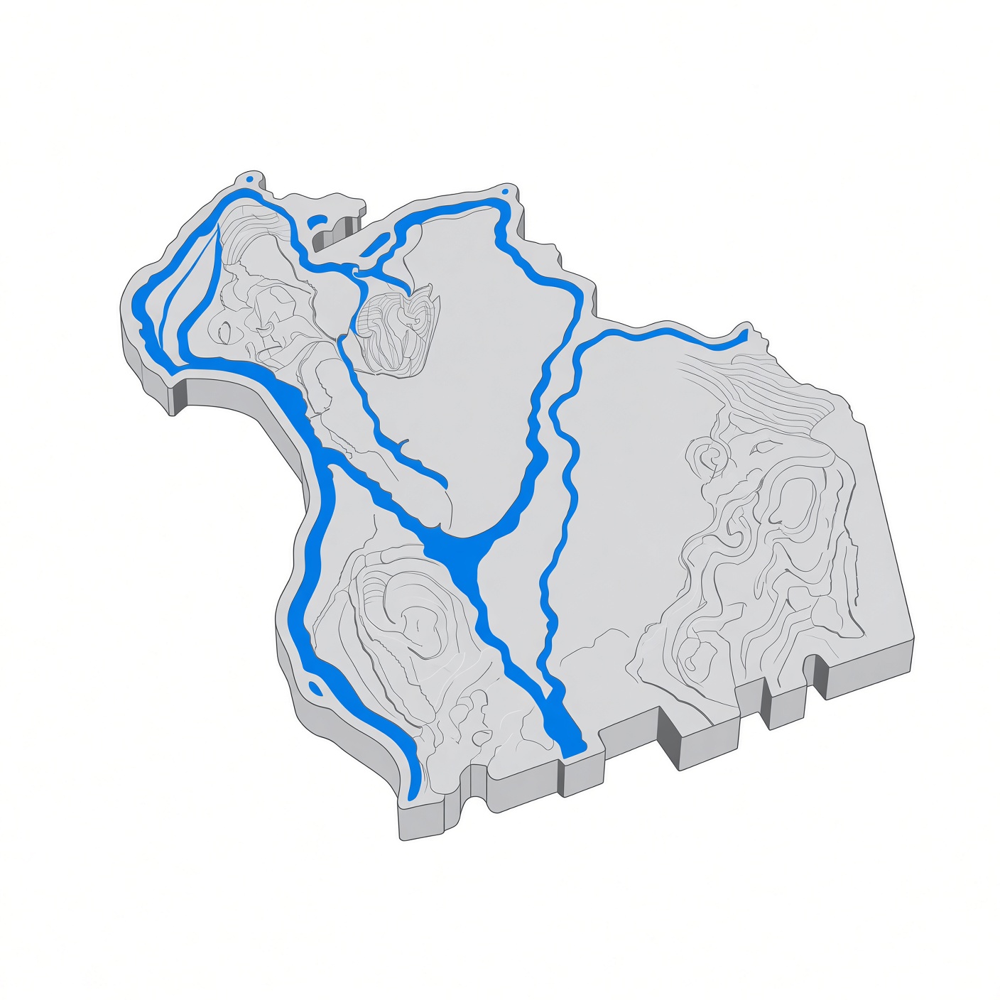
'''Gill''' is a town in [[Franklin County, Massachusetts|Franklin County]], Massachusetts, on the west bank of the Connecticut River, across from [[Northfield, Massachusetts|Northfield]] and [[Erving, Massachusetts|Erving]]. Settled in 1776 and incorporated in 1793, it is named for Moses Gill, a lieutenant governor and acting governor of Massachusetts. The population was 1,551 at the 2020 census. == Facts == {| class="wikitable" |- ! Town | Gill, Massachusetts |- ! County | Franklin |- ! Settled | 1776 |- ! Incorporated | 1793 |- ! Population | 1,551 (2020 census) |- ! Area | 14.8 sq mi |- ! Elevation | 377 ft |- ! ZIP codes | 01354 |} == History == The site was the Nipmuc village of Peskeompscut, where Captain William Turner's 1676 attack during King Philip's War killed 100 to 200 people, mostly women, children, and the elderly. The town was named for Moses Gill, a member of the Executive Council who served as lieutenant governor in 1794 and acting governor in 1799; its first town meeting was held on December 18, 1793. From 1968 to 1988, Gill was home to the Renaissance Community, a commune founded by the former Brotherhood of the Spirit. == Government == Gill is governed by open town meeting. == Notable places == * The '''French King Bridge''' and the '''Gill–Montague Bridge''' — the town's two crossings of the Connecticut River, the latter leading into [[Montague, Massachusetts|Montague]]. * The '''Turners Falls Dam''' — on the Connecticut River at the town's southern edge. * The Mount Hermon section of town is home to part of the Northfield Mount Hermon School campus. == In the county == Gill's elementary students attend Gill Elementary School; middle and high school students attend school in [[Montague, Massachusetts|Montague]] (Great Falls Middle School and Turners Falls High School). == Sources == * Wikipedia: Gill, Massachusetts * U.S. Census Bureau: 2020 census
Summary:
Please note that all contributions to Michael Henry's Montague Matters, a Community Resource are considered to be released under the Creative Commons Attribution-ShareAlike 4.0 International (see
Montague matters:Copyrights
for details). If you do not want your writing to be edited mercilessly and redistributed at will, then do not submit it here.
You are also promising us that you wrote this yourself, or copied it from a public domain or similar free resource.
Do not submit copyrighted work without permission!
Cancel
Editing help
(opens in new window)
Search
Search
Editing
Gill, Massachusetts
Add topic