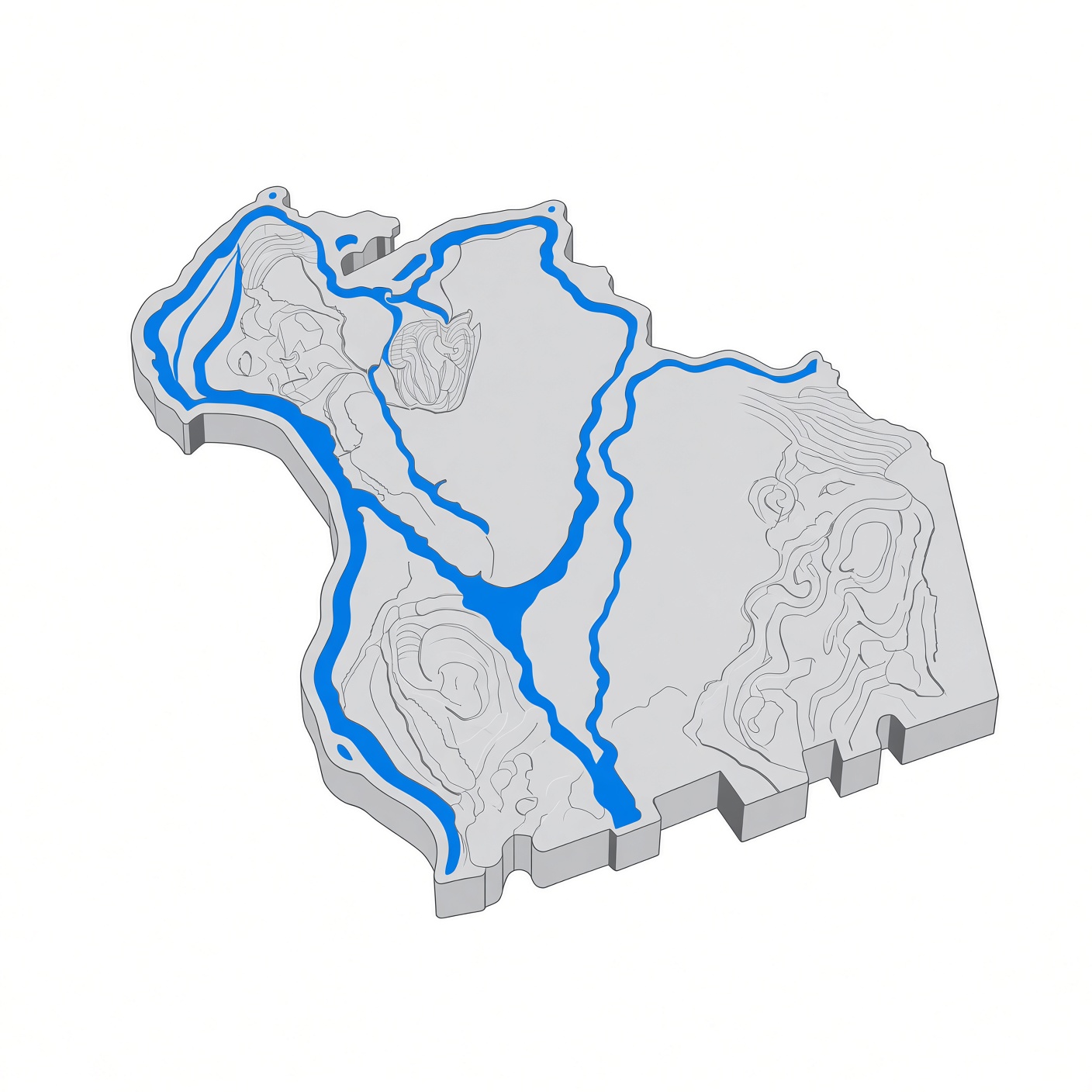
Gill, Massachusetts
Gill is a town in Franklin County, Massachusetts, on the west bank of the Connecticut River, across from Northfield and Erving. Settled in 1776 and incorporated in 1793, it is named for Moses Gill, a lieutenant governor and acting governor of Massachusetts. The population was 1,551 at the 2020 census.
Facts
[edit]| Town | Gill, Massachusetts |
|---|---|
| County | Franklin |
| Settled | 1776 |
| Incorporated | 1793 |
| Population | 1,551 (2020 census) |
| Area | 14.8 sq mi |
| Elevation | 377 ft |
| ZIP codes | 01354 |
History
[edit]The site was the Nipmuc village of Peskeompscut, where Captain William Turner's 1676 attack during King Philip's War killed 100 to 200 people, mostly women, children, and the elderly. The town was named for Moses Gill, a member of the Executive Council who served as lieutenant governor in 1794 and acting governor in 1799; its first town meeting was held on December 18, 1793. From 1968 to 1988, Gill was home to the Renaissance Community, a commune founded by the former Brotherhood of the Spirit.
Government
[edit]Gill is governed by open town meeting.
Notable places
[edit]- The French King Bridge and the Gill–Montague Bridge — the town's two crossings of the Connecticut River, the latter leading into Montague.
- The Turners Falls Dam — on the Connecticut River at the town's southern edge.
- The Mount Hermon section of town is home to part of the Northfield Mount Hermon School campus.
In the county
[edit]Gill's elementary students attend Gill Elementary School; middle and high school students attend school in Montague (Great Falls Middle School and Turners Falls High School).
Sources
[edit]- Wikipedia: Gill, Massachusetts
- U.S. Census Bureau: 2020 census