Main public logs
Combined display of all available logs of Michael Henry's Montague Matters, a Community Resource. You can narrow down the view by selecting a log type, the username (case-sensitive), or the affected page (also case-sensitive).
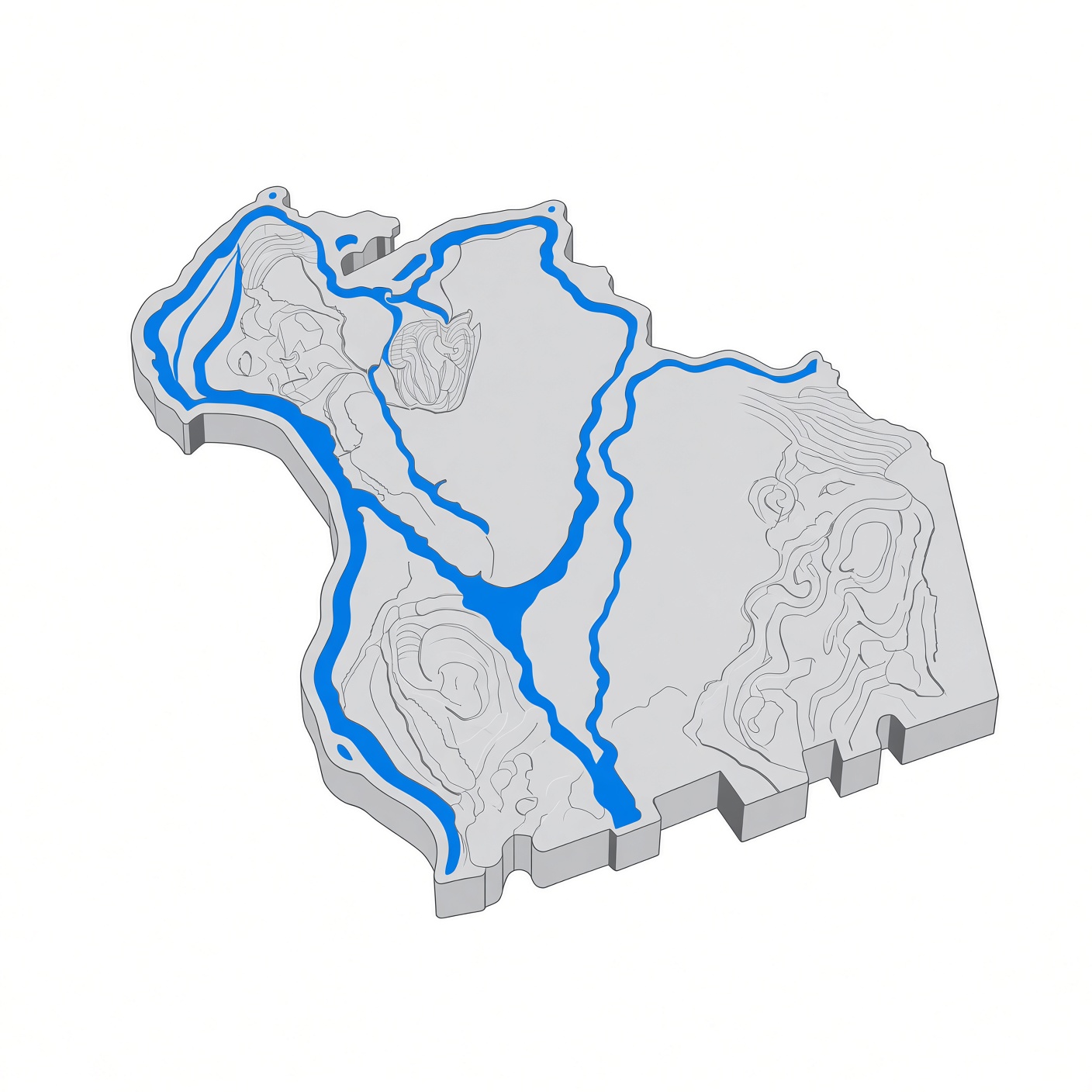
- 23:41, 15 November 2026 Montagonist talk contribs created page File:Montague-massachusetts.jpg (Stylized 3D relief map of Montague, Massachusetts, in Franklin County, western Massachusetts. The map shows the town of Montague MA with the Connecticut River forming its western edge at Turners Falls, the Millers River flowing through Millers Falls, and the Deerfield River joining the Connecticut River at Montague City. Montague's five villages — Turners Falls, Montague Center, Montague City, Millers Falls, and Lake Pleasant — sit within this 31.5-square-mile town of 8,580 residents (2020 ce...)
- 23:41, 15 November 2026 Montagonist talk contribs uploaded File:Montague-massachusetts.jpg (Stylized 3D relief map of Montague, Massachusetts, in Franklin County, western Massachusetts. The map shows the town of Montague MA with the Connecticut River forming its western edge at Turners Falls, the Millers River flowing through Millers Falls, and the Deerfield River joining the Connecticut River at Montague City. Montague's five villages — Turners Falls, Montague Center, Montague City, Millers Falls, and Lake Pleasant — sit within this 31.5-square-mile town of 8,580 residents (2020 ce...)
