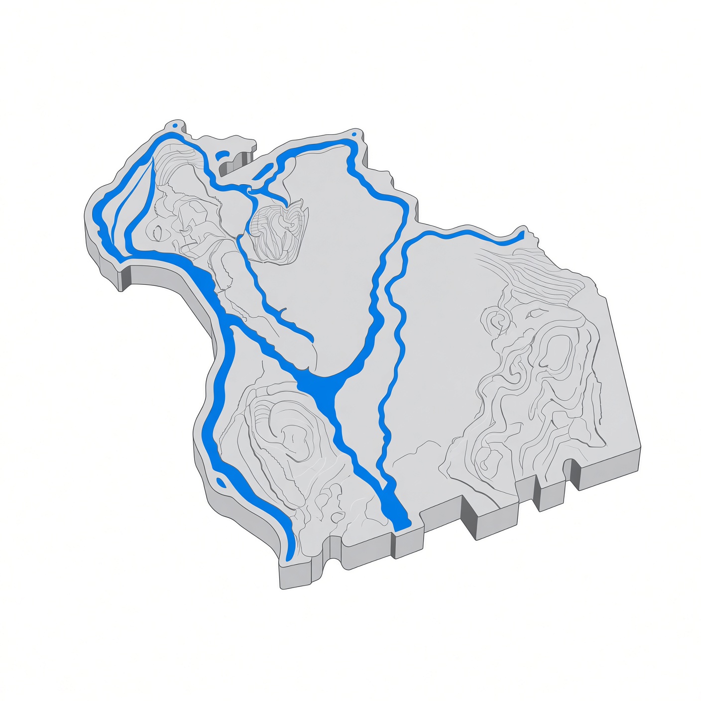
File:Montague-massachusetts.jpg
Summary
[edit]
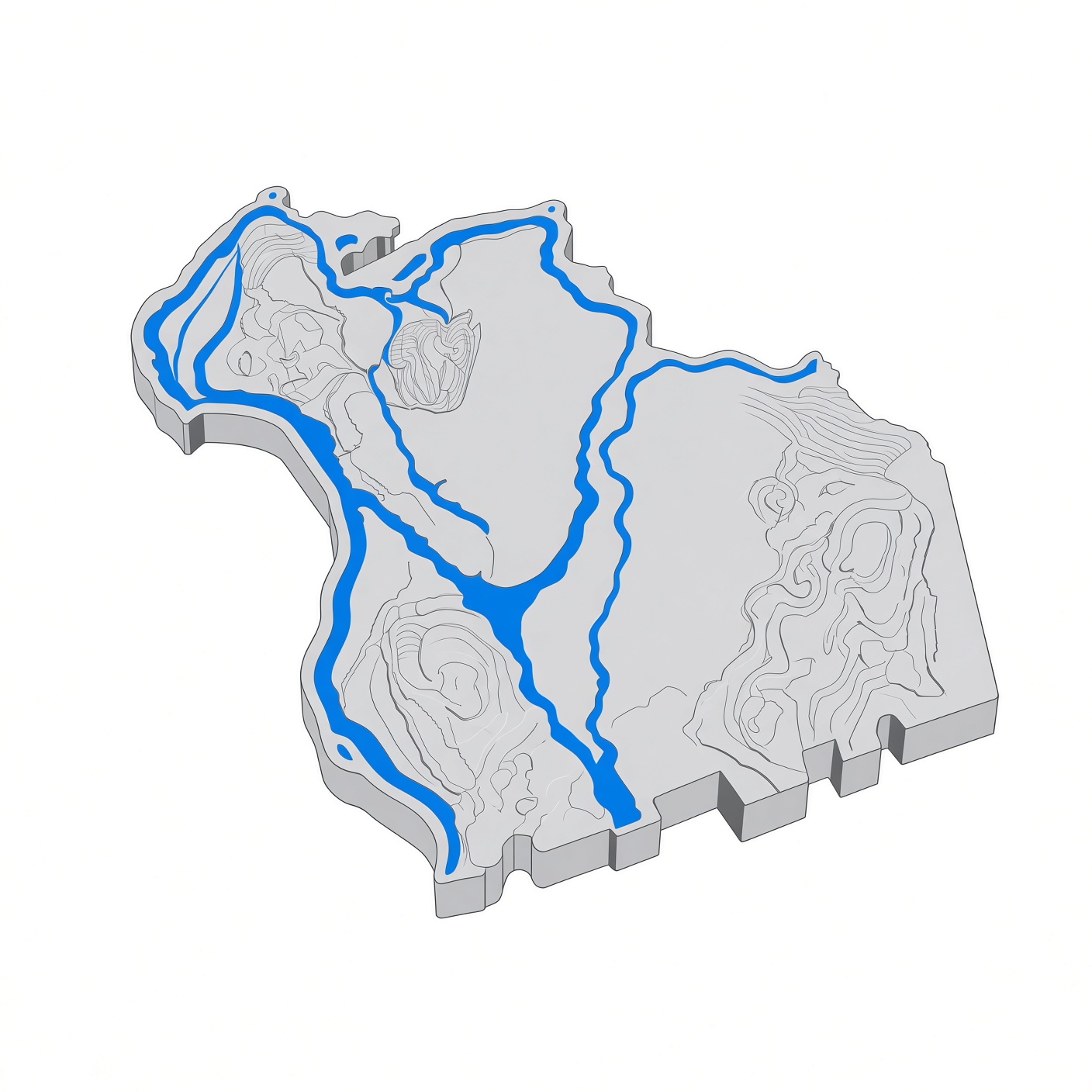
Stylized 3D relief map of Montague, Massachusetts, in Franklin County, western Massachusetts. The map shows the town of Montague MA with the Connecticut River forming its western edge at Turners Falls, the Millers River flowing through Millers Falls, and the Deerfield River joining the Connecticut River at Montague City. Montague's five villages — Turners Falls, Montague Center, Montague City, Millers Falls, and Lake Pleasant — sit within this 31.5-square-mile town of 8,580 residents (2020 census), settled in 1715 and incorporated in 1754. Located on Route 2 between Greenfield and Orange in Franklin County MA, Montague Massachusetts borders Greenfield, Gill, Erving, Wendell, Sunderland, and Deerfield. The map highlights the town's river valleys, hills, and village locations across the Connecticut River valley in western Mass.
File history
Click on a date/time to view the file as it appeared at that time.
| Date/Time | Thumbnail | Dimensions | User | Comment | |
|---|---|---|---|---|---|
| current | 23:41, 15 November 2026 | | 1,408 × 1,408 (282 KB) | Montagonist (talk | contribs) | Stylized 3D relief map of Montague, Massachusetts, in Franklin County, western Massachusetts. The map shows the town of Montague MA with the Connecticut River forming its western edge at Turners Falls, the Millers River flowing through Millers Falls, and the Deerfield River joining the Connecticut River at Montague City. Montague's five villages — Turners Falls, Montague Center, Montague City, Millers Falls, and Lake Pleasant — sit within this 31.5-square-mile town of 8,580 residents (2020 ce... |
You cannot overwrite this file.
File usage
The following page uses this file:
