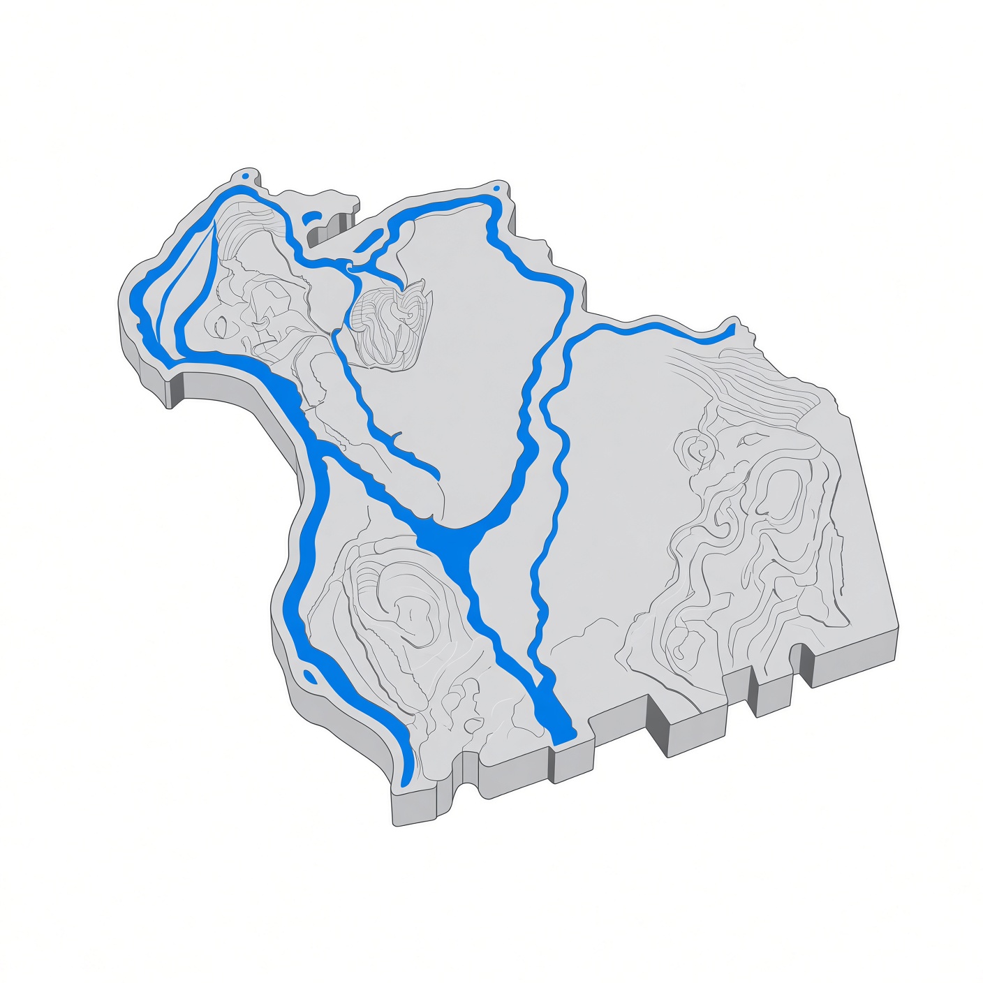
Barton Cove
Barton Cove is a broad, calm backwater of the Connecticut River above the Turners Falls Dam, in Gill, Massachusetts, across the river from Turners Falls. It is a widened pool behind the dam, sheltered by a long forested peninsula, and one of the best-known places in Franklin County for paddling, camping, and watching bald eagles.
Facts
[edit]| Place | Barton Cove, Gill, Massachusetts |
|---|---|
| River | Connecticut River, above the Turners Falls Dam |
| Across the river | Turners Falls, Montague |
| Address | 82 French King Highway (Route 2), Gill, MA 01354 |
| Operator | FirstLight Power |
| Season | Memorial Day weekend through Labor Day |
| Camping | Rustic tent-only campground, with group sites |
| Boats | Canoe, kayak, and stand-up paddleboard rentals; state boat ramp on the north shore |
| Known for | Bald eagle nesting since the 1980s; dinosaur track quarry at Lily Pond |
Geography
[edit]Barton Cove is a quiet arm of the Turners Falls impoundment: flat water, forested banks, and a long peninsula of conifer woods sheltering it from the wind on the main channel. The cove itself is roughly a mile across.
Above the Turners Falls Dam, the Connecticut River is impounded in a large pool that extends twenty miles to the north and forms the lower reservoir of the Northfield Mountain Pumped Storage facility. The dam holds the river back, and the cove is the broad, still-water pool directly above it. Downstream of the dam, the river drops at the Great Falls and runs through the power canal in Turners Falls.
The cove's south shore, off Route 2 in Gill, is a finger-like peninsula of basalt bedrock. On the peninsula's northwest side are ancient waterfall plunge pools, including Lily Pond. The pools were scoured by waterfalls between 9,000 and 14,000 years ago, when the Connecticut River could not find its old preglacial channel after the last glaciation, and Lily Pond was reconnected with the river in the early twentieth century when the Turners Falls Dam raised the water level in Barton Cove.
Barton Island, a small island in the cove, is the eagles' nesting island.
History
[edit]The ground around Barton Cove has been inhabited for more than 10,000 years. The falls and the river here were Peskeompskut, a Native fishing place shared by the Pocumtuck Confederacy, the Narragansetts, the Nipmucs, the Wampanoag, and the Wabanaki peoples, and the site of the Native fishing camp attacked by Captain William Turner's colonial militia on the morning of May 19, 1676, during King Philip's War.
The Nolumbeka Project, which holds the deed to the Wissatinnewag village site nearby, has said that an extension of the Great Falls village lies under the waters of Barton Cove — land that was pastureland before the water level was raised for hydropower, and before that part of the village attacked in 1676.
The Turners Falls Dam that makes the cove was built to power the mills of Turners Falls, the planned industrial village founded in 1868. The dam was enlarged in 1970 and is now one of the hydroelectric facilities managed by FirstLight Power, along with the Cabot Station and Station No. 1 in Turners Falls and the Northfield Mountain pumped-storage plant upstream.
Dinosaur tracks
[edit]Barton Cove is one of the places where the Connecticut River Valley's dinosaur tracks were first found. In 1835, Greenfield stonemason Dexter Marsh, working with stone taken from a quarry in Gill at Barton Cove, reported bird-like tracks in sandstone to Dr. James Deane of Greenfield, who passed them to geologist Edward Hitchcock at Amherst College. Hitchcock published them in 1836, beginning the scientific study of dinosaur footprints.
Roswell Field, who owned the quarry and farm on the banks of the Connecticut River in Gill, became the principal supplier of the valley's fossil track slabs to collectors and institutions, including Harvard and Yale. His former quarry now lies within a nature preserve owned by FirstLight Power on the east side of Barton Cove, and a roughly one-mile hiking trail leads through part of the quarry and the adjacent sandstone outcrops, to an elevated observation deck at Lily Pond with views across the cove.
Recreation
[edit]Barton Cove is run by FirstLight Power as a recreation area, at 82 French King Highway (Route 2) in Gill, a few minutes east of the Turners Falls bridge. The campground is open Memorial Day weekend through Labor Day and specializes in rustic tent-only camping, with a picnic table, grill, and campfire ring at each site, plus group sites. Reservations are taken online and by phone at (413) 863-9300.
The cove is the classic put-in for a first paddle on the Connecticut River: the water inside the cove is calm and sheltered, while the main channel has significant current and is for experienced paddlers only. FirstLight rents canoes, kayaks, and stand-up paddleboards at the cove — 50 watercraft in all — with personal flotation devices and paddles included. There is also a state boat ramp on the north shore of the cove, with a concrete launch and parking.
The Canalside Rail Trail, a 3.6-mile paved path, runs from McClelland Farm Road in Deerfield to Unity Park on Barton's Cove in Turners Falls, at the northern end of the trail. Unity Park, at the end of 1st Street off Avenue A in Turners Falls, is the Turners Falls-side access point to the cove, with parking, a paved walking trail, and a panoramic view across the water.
Water levels and current in the cove can change with dam operations, so check conditions before a trip.
Wildlife
[edit]Barton Cove is renowned for its bird life. Bald eagles are the best-known residents: a nesting pair re-established at the cove in the early 1980s, among the first to return to Massachusetts, and eagles began nesting on Barton Island in 1989 and have been present since. A storm toppled the original nest tree in 2008, but the eagles rebuilt nearby. The tall pines at the tip of the peninsula have held a nest most years since, and eagles are visible year-round near the cove.
Ospreys nest along the river, with a nesting platform visible from the water on Barton Island in spring and summer. Great blue herons are common in the slack reaches, and mute swans, mallard ducks, Canada geese, and other waterfowl raise broods along the water's edge. River otters have been reported in the cove, and in winter, when ice spreads across the cove, flocks of gulls roost on the ice each evening and diving ducks gather at the last patch of open water, usually near the Gill boat ramp.
The best viewing points are Unity Park in Turners Falls, the Gill boat ramp on Route 2 — the best spot for the eagle nest, especially in spring before the trees leaf out — and the Barton Cove Campground, the southernmost vantage point on the cove. A spotting scope helps at Unity Park, where the birds are often at a considerable distance.
Sources
[edit]- FirstLight Power: Barton Cove and Munn's Ferry Campgrounds
- Town of Montague: Village of Turners Falls (montague-ma.gov)
- Pioneer Valley: A Connecticut River Paddling Primer; Gill
- Estuary Magazine: Boating the French King Gorge to Barton Cove; Turners Falls Area Winter Birding; Tracking Dinosaurs in the Connecticut River Valley
- Bird Observer: Birding Along the Connecticut River in Turners Falls and Gill (December 2016)
- American Centuries: Gill, Massachusetts
- MIT Earth, Atmospheric and Planetary Sciences: Field Trip Guide — Barton Cove and Lily Pond