Jump to content

File:Montague-massachusetts.jpg: Revision history

Diff selection: Mark the radio buttons of the revisions to compare and hit enter or the button at the bottom.
Legend: (cur) = difference with latest revision, (prev) = difference with preceding revision, m = minor edit.

15 November 2026

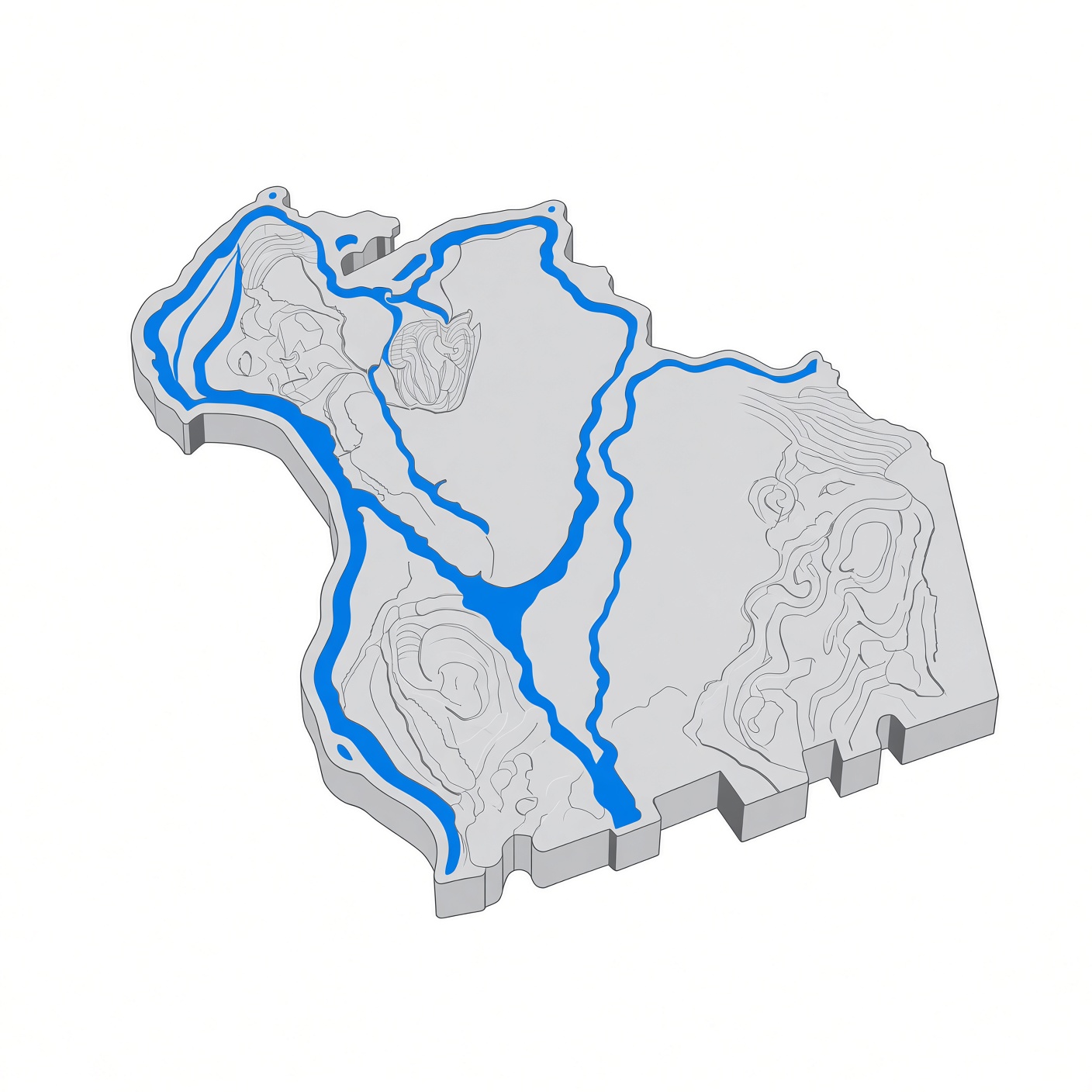
  • curprev 23:4123:41, 15 November 2026 Montagonist talk contribs 855 bytes +855 Stylized 3D relief map of Montague, Massachusetts, in Franklin County, western Massachusetts. The map shows the town of Montague MA with the Connecticut River forming its western edge at Turners Falls, the Millers River flowing through Millers Falls, and the Deerfield River joining the Connecticut River at Montague City. Montague's five villages — Turners Falls, Montague Center, Montague City, Millers Falls, and Lake Pleasant — sit within this 31.5-square-mile town of 8,580 residents (2020 ce...