Jump to content
Main menu
Main menu
move to sidebar
hide
Navigation
Main page
Recent changes
Random page
Help about MediaWiki
Special pages
Michael Henry's Montague Matters, a Community Resource
Search
Search
Appearance
Create account
Log in
Personal tools
Not logged in
Talk
Contributions
Create account
Log in
Editing
Connecticut River
Page
Discussion
English
Read
Edit
View history
Tools
Tools
move to sidebar
hide
Actions
Read
Edit
View history
General
What links here
Related changes
Page information
Appearance
move to sidebar
hide
Warning:
You are not logged in. Your IP address will be publicly visible if you make any edits. If you
log in
or
create an account
, your edits will be attributed to your username, along with other benefits.
Anti-spam check. Do
not
fill this in!
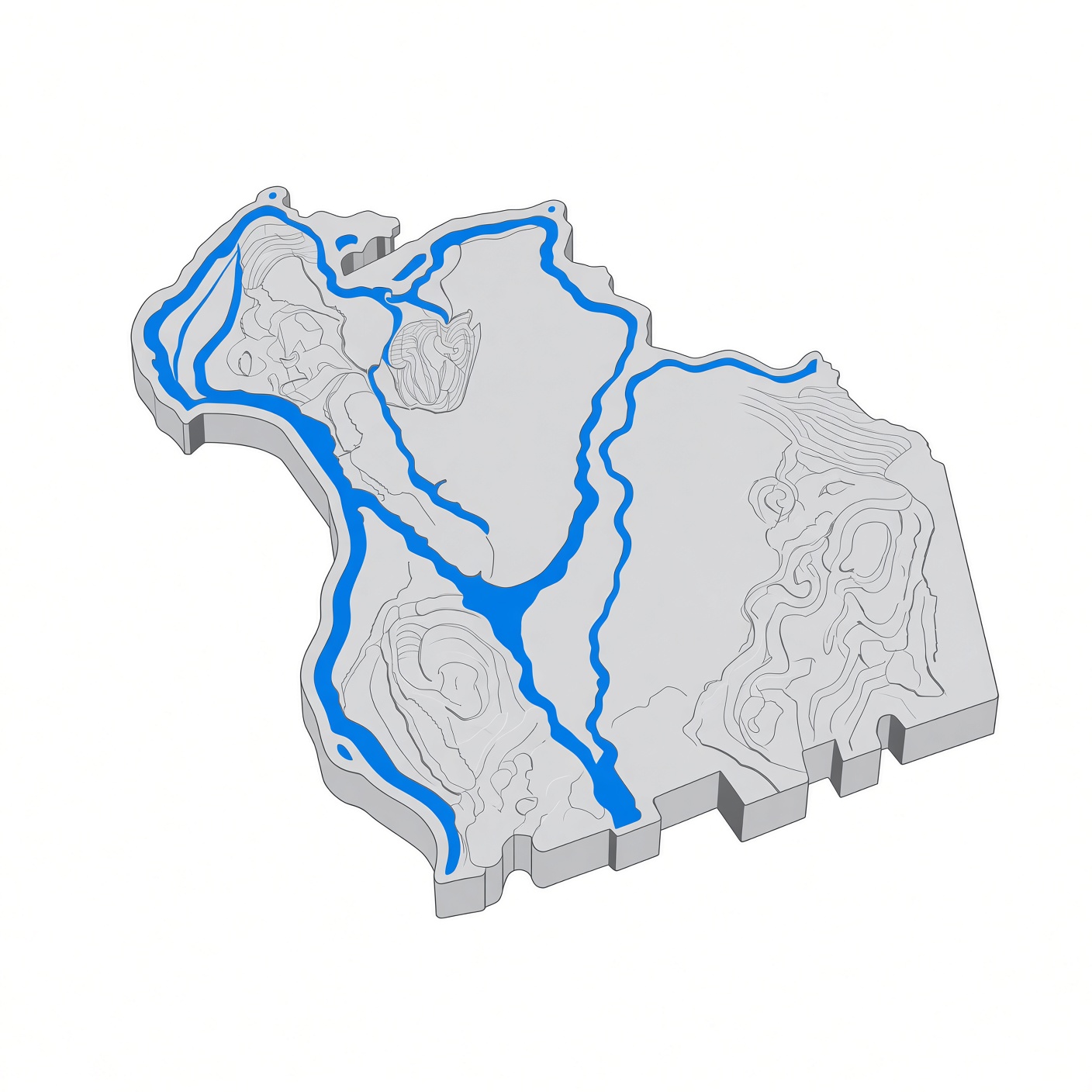
The '''Connecticut River''' is the longest river in [[New England]], flowing roughly southward for about 410 miles through four states — New Hampshire, Vermont, Massachusetts, and Connecticut — from Fourth Connecticut Lake on the U.S. border with Quebec to Long Island Sound. Its watershed covers 11,260 square miles and 148 tributaries. In Montague, the river makes its sharp bend at the Great Falls, where the [[Turners Falls, Massachusetts|Turners Falls]] dam and power canal were built. == Facts == {| class="wikitable" |- ! Length | About 410 miles |- ! Source | Fourth Connecticut Lake, New Hampshire |- ! Mouth | Long Island Sound (Old Saybrook / Old Lyme, Connecticut) |- ! States | New Hampshire, Vermont, Massachusetts, Connecticut |- ! Watershed | 11,260 sq mi |- ! Tributaries | 148 (38 major) |- ! Name | From an Algonquian name meaning "long tidal river" |} == Course == The river rises at the Canadian border and flows south, forming the border between New Hampshire and Vermont before crossing Massachusetts and Connecticut. Its major cities are Springfield and Hartford. In [[Franklin County, Massachusetts|Franklin County]] it flows through Northfield, [[Montague, Massachusetts|Montague]], [[Greenfield, Massachusetts|Greenfield]], and [[Deerfield, Massachusetts|Deerfield]]. At the French King Gorge, near the mouth of the Millers River, the 800-foot French King Bridge links [[Erving, Massachusetts|Erving]] and Gill. == Dams and power == The first major dam on the river was built near [[Turners Falls, Massachusetts|Turners Falls]]; thirteen more dams followed, ending the river's great runs of migratory fish. Fish ladders built since the first passage at Turners Falls in 1980 have let migrating fish return to some of their former spawning grounds. The Cabot and Turners Falls hydroelectric stations generate up to 68 MW. == Tributaries in Franklin County == The Millers River and the Deerfield River are the county's two great tributaries of the Connecticut, joining it from the east and the west respectively. The Millers meets the Connecticut at French King Gorge; the Deerfield joins it south of [[Greenfield, Massachusetts|Greenfield]]. == Today == The [[Great Falls Discovery Center]] at 2 Avenue A in Turners Falls interprets the natural, cultural, and industrial history of the Connecticut River watershed. The river's estuary and tidal wetlands at Long Island Sound are a Ramsar Wetland of International Importance, designated in 1994. == Sources == * Wikipedia: Connecticut River * New England.com: Autumn Along the Connecticut River
Summary:
Please note that all contributions to Michael Henry's Montague Matters, a Community Resource are considered to be released under the Creative Commons Attribution-ShareAlike 4.0 International (see
Montague matters:Copyrights
for details). If you do not want your writing to be edited mercilessly and redistributed at will, then do not submit it here.
You are also promising us that you wrote this yourself, or copied it from a public domain or similar free resource.
Do not submit copyrighted work without permission!
Cancel
Editing help
(opens in new window)
Search
Search
Editing
Connecticut River
Add topic